
West Chicago Neighbor Record Sources
The best block-level sources answer different questions. DuPage GIS defines parcel geometry and adjacency. Property cards attach tax, assessment, mailing, and transfer fields to a PIN, which is the county parcel identification number. Recorded plats provide subdivision, lot, and block context. West Chicago ward material supplies civic geography, while the city’s Neighborhood Watch program offers a contact path without publishing a member roster.
| Source | What It Shows About a Block | Access |
|---|---|---|
| DuPage Parcel Viewer | Selected PINs, parcel edges, nearby lots, districts, and map layers | Public viewer; export and print |
| DuPage Property Lookup | Parcel card, billing and mailing fields, transfers, legal description | Public web search |
| Recorder plats and deeds | Subdivision, lot, block, legal description, and recorded parties | Online index; office research route |
| City and election maps | West Chicago ward and district context | Public map and lawful lookup |
| Neighborhood Watch | Program contact and participation route, not member names | City resident-program page |
A parcel relationship is not a household list. The situs address is the parcel's physical location. The mailing address is where tax mail goes, and the billing name describes a tax account relationship. A deed records a grantor or grantee in a transaction. None of those labels alone proves that the named person occupies the property. A defensible West Chicago neighbors list is therefore a dated parcel map with recorded parcel relationships, not a claim about every person on the block.
Buffer West Chicago Neighbor Parcels
DuPage County's official neighbor method is geometric. Search the target PIN or property address in the Parcel Viewer, select the parcel, and create a buffer from its edge. The tool can select from parcel-search results or a feature opened in a map popup. Its default buffer is 250 feet, though the distance and units can be changed. Results remain selected until cleared.
The output depends on the question. Touching parcels share an edge. A parcel across a right-of-way may be a practical neighbor without touching the target. A wider radius can add parcels on another street or in another subdivision. Record the distance, units, map date, and whether the set means touching lots, frontage across a street, same plat, or the wider block.
The county permits selected parcels to be downloaded as TXT, CSV, PDF, XLS, or XLSX. Drawing tools can also select by point, line, or polygon, with a maximum of 1,000 parcels. Those options make the result repeatable, but a broad export should still be narrowed to what is needed.
The DuPage public parcel service exposes the parcel layer behind this geography.
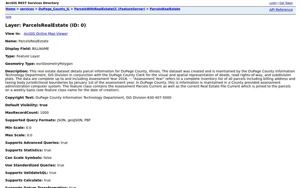
The layer description also warns researchers to preserve its data date because older spatial data and weekly joined real-estate fields may have different update cycles.
Separate West Chicago Parcels From People
Once the map identifies nearby PINs, open each parcel card separately. The record can show property street, apartment, city, ZIP and suffix, parcel status, property class, tax code, assessed values, municipality, and several service or school districts. Its tabs may include legal description, transfer history, owner, map, neighborhood search, and sales. These are property fields, not a roll of current occupants.
| Record label | What it supports | What it does not prove |
|---|---|---|
| Situs address | The physical parcel location | Who is inside now |
| Billing name | A tax-account relationship for a stated year | Owner occupancy |
| Mailing address | The destination for tax mail | The person's residence |
| Recorded party | A role in a deed or other instrument | Day-to-day possession |
| Ward or district | Civic geography around the parcel | Physical adjacency |
This label-by-label comparison is more reliable than commercial neighbor tools that merge old directories, marketing files, and public records without showing source dates. Official records are narrower, but they reveal the custodian, field meaning, and correction route. A third-party match may be quick, yet it cannot replace a dated county parcel or recorded document.
Compare West Chicago Lots and Frontage
A buffer answers “what is near this parcel,” while a recorded plat answers “how were these lots legally laid out?” Search both the current subdivision name and its recorded plat reference. Plat names can change, and a later resubdivision may alter lot or block numbers. The Recorder index includes plats, subdivision plats, resubdivision plats, annexation plats, easement plats, and other instruments that affect the shape or use of nearby land.
Use the legal description and PIN to connect a mapped parcel with the correct recorded document. A road, alley, rail corridor, drainage tract, or common area may sit between two homes that appear close on screen. That gap matters when describing West Chicago neighbors. The practical block may include frontage across a street; the legal parcel set may not.
Note: Keep the plat name, lot, block, PIN, map date, and buffer rule together so another reader can reproduce the same block.
West Chicago Neighbor Civic Context
West Chicago has seven wards whose boundaries reflect the 2020 Census. Ward maps help place an address within city government, and DuPage election sources route residents to registration, polling, early voting, ballots, and results. District overlap does not establish that two parcels touch. Treat ward, precinct, school, fire, library, and park labels as context attached to the mapped parcel.
The DuPage voter lookup should not be used to compile a neighbor list. Its form asks for a last name, birth date, identifying number, house number, street, city, and district choices. Illinois Election Code limits copying and use, protects sensitive fields, and bars several forms of solicitation and misuse. A dated registration is not proof that a person remains at an address.
The West Chicago election page provides the city-to-county routing for wards and voting.
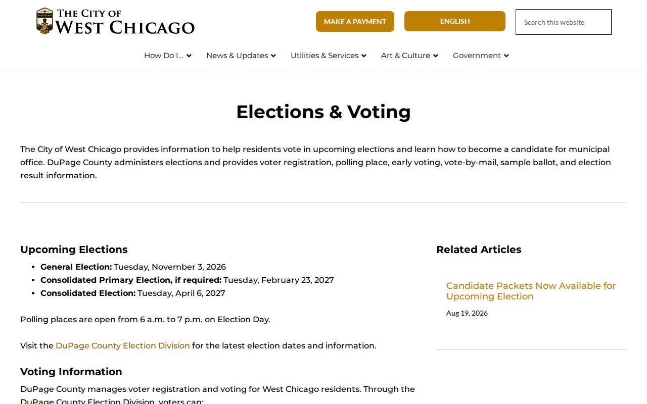
This civic layer can explain why nearby parcels share or cross district lines without making a household claim.
West Chicago Neighborhood Watch Route
The City Resident Programs page describes Neighborhood Watch as a police-managed cooperation program. Residents can work with police, attend meetings, and learn about crime-prevention methods and local trends. It is a valid path to ask whether a block has a program or how to start one. It is not an association directory and does not publish participant names.
City Resident Programs
Program information and the West Chicago Neighborhood Watch route.
DuPage County GIS
Parcel geometry, adjacent-PIN selection, layers, print tools, and exports.
West Chicago GIS
Municipal boundaries, wards, infrastructure, and city thematic layers.
No official municipal umbrella directory of neighborhood associations was located in the research. That absence should remain visible. Do not turn the Neighborhood Watch contact path, an informal group, or a subdivision plat into a claimed roster of West Chicago neighbors.
The city's resident-program page shows the public route.
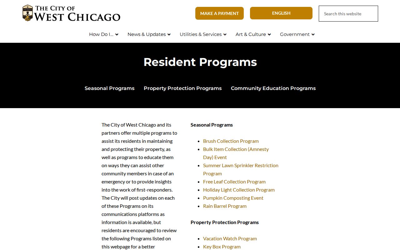
The program page supports community contact, while keeping individual participation private.
Map West Chicago Neighbors by PIN
A concise process keeps the map tied to the records. Begin with one standardized address, resolve its PIN, and define what “neighbor” means for the task. Use touching parcel edges for strict adjacency, frontage for the lived block, or recorded subdivision lines for a plat-based set. Then attach only the relevant county fields to each selected parcel.
- Validate the address and search it in the DuPage Parcel Viewer or Property Lookup.
- Select the target PIN and buffer from its edge using a recorded distance and unit.
- Review each nearby PIN, parcel status, legal description, billing field, mailing field, and map date.
- Check the plat or Recorder index when subdivision or boundary context matters.
- Export or print the selected set, then label it as parcel relationships rather than current occupants.
For every parcel along a named road, use the broader West Chicago street directory workflow. That process follows the whole street, while the neighbor method stays centered on the immediate block.
West Chicago Neighbor History Clues
Historical block work uses a different clock. West Chicago renamed several streets and introduced a new building-number system in 1930. An older directory, newspaper, deed, or map can therefore point to the right place under a street string that no longer matches modern GIS. Preserve the old address first, then compare legal descriptions, maps, and dated sources.
The city cemetery system is another local geography source, but its detail differs by cemetery. Glen Oak includes more grave-level information, while Oakwood is chiefly described at lot level. A burial record may corroborate a family or date; it does not prove that nearby living parcels formed the same household or social block.
The West Chicago cemetery information explains those local records.
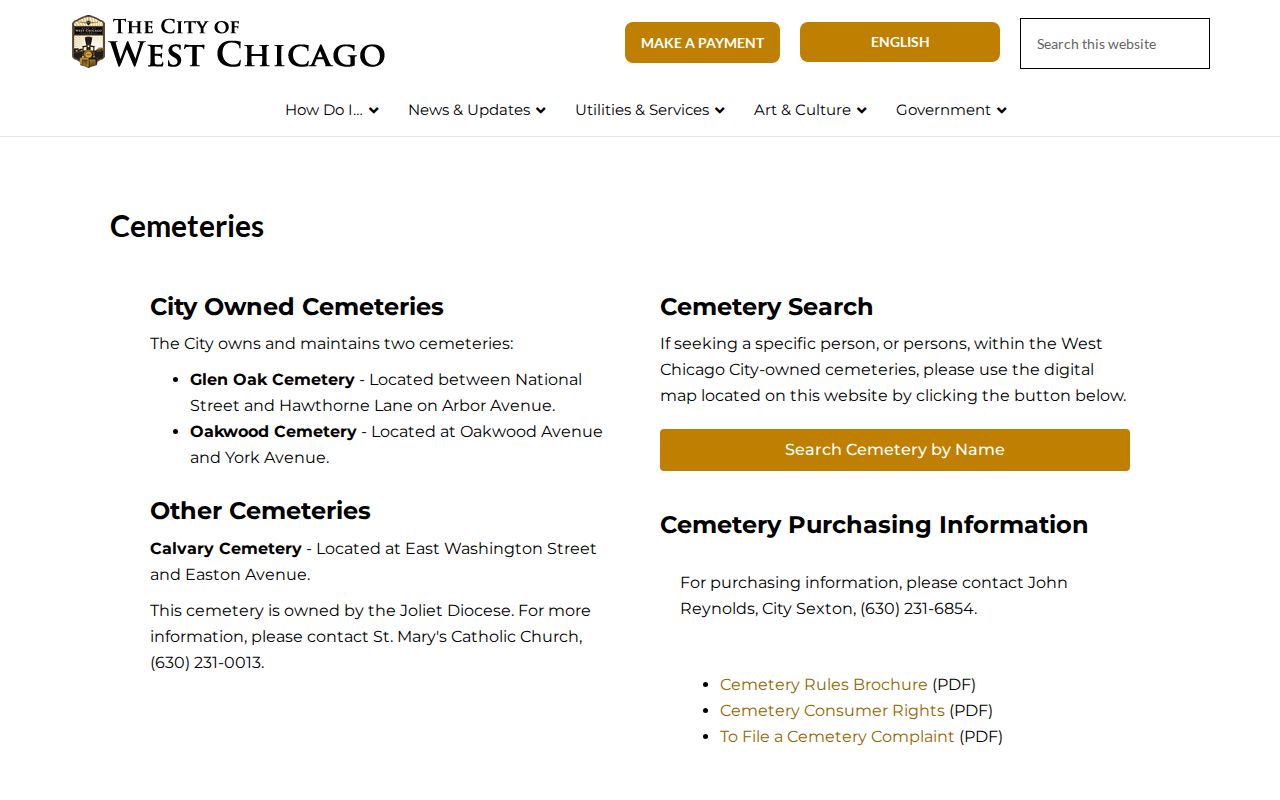
The city source helps interpret local history without flattening grave-level and lot-level data into one type.
West Chicago Neighbor Search Limits
Public parcel records do not supply a complete list of renters, children, guests, or other household members. Utility, delivery, and private association data are not general public rolls. The Illinois Address Confidentiality Program can provide eligible survivors with a substitute address. It does not automatically remove an older deed, so unnecessary personal details should not be copied or republished.
When a government record seems wrong, contact its custodian and preserve the source date. Parcel questions go to DuPage property or GIS staff, recorded-document questions go to the Recorder, and city map or ward issues go to West Chicago. The safest neighbor lookup says exactly what the record proves and stops there.
Lawful use. Use West Chicago neighbor records for civic curiosity, reconnection, or personal safety. Never use them to watch, harass, intimidate, or harm anyone.